Built around real site experience
Our team understands the pressure of construction programmes, machine downtime, design revisions and the need for dependable site control.
01 / Who we are
Plantec Survey Solutions is a Wakefield-based, engineer-led surveying and construction technology business. Our work combines practical site engineering with equipment supply, installation, training, design preparation and continuing technical support.
Our team understands the pressure of construction programmes, machine downtime, design revisions and the need for dependable site control.
From establishing survey control and creating a model to fitting an excavator and training the operator, we can support the complete workflow.
We help operators, engineers and management teams make use of the technology throughout the job—not simply on installation day.
Run by engineers — used by engineers.
02 / The Plantec difference
The best technology only delivers value when it is set up correctly, supported properly and used confidently.
03 / Machine control
CHCNAV excavator machine control supplied, installed and supported by engineers who understand how earthworks are actually delivered.
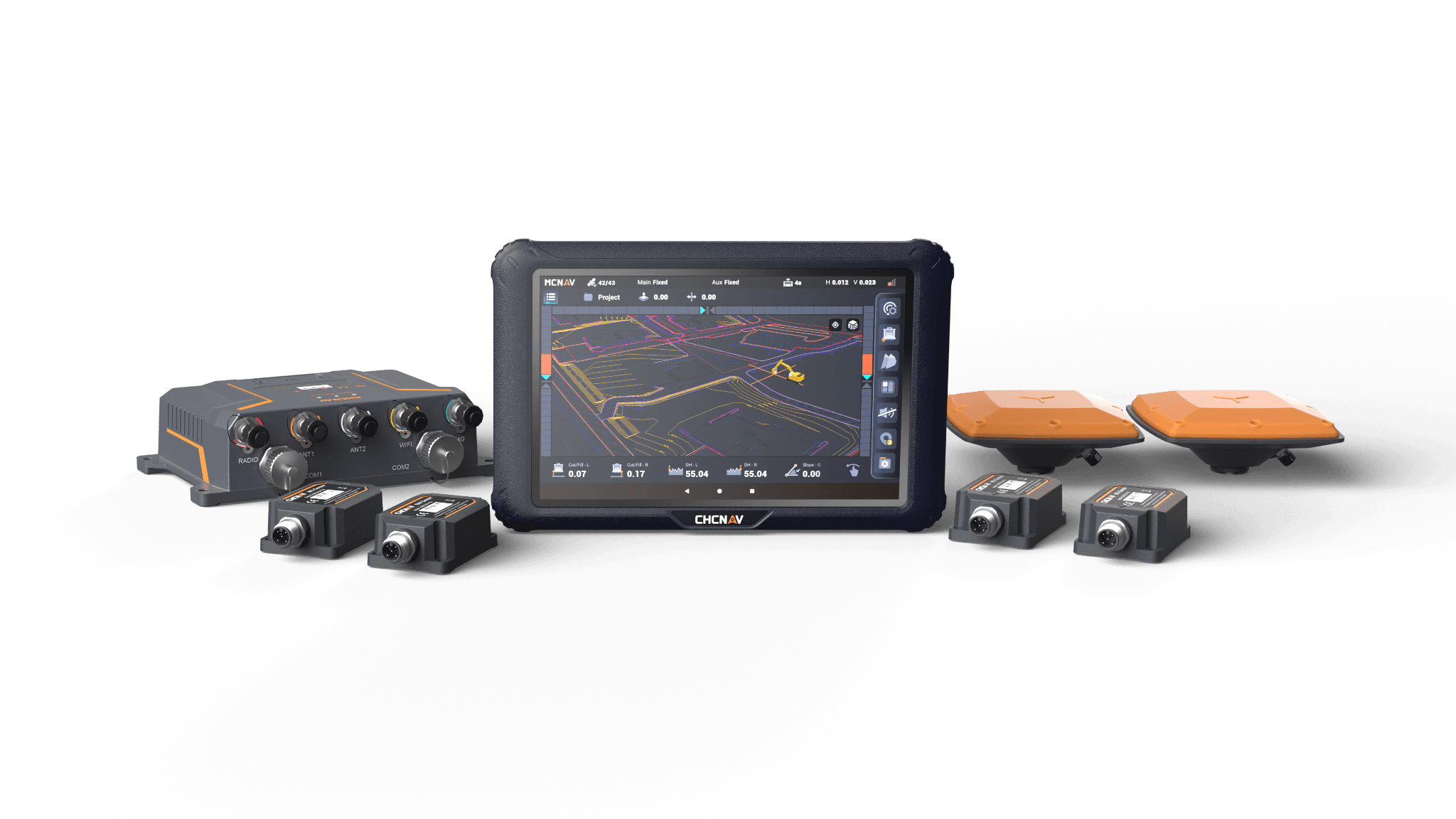
GNSS-based positioning and 3D design guidance to help operators work to the intended surface and reduce reliance on traditional setting-out methods.
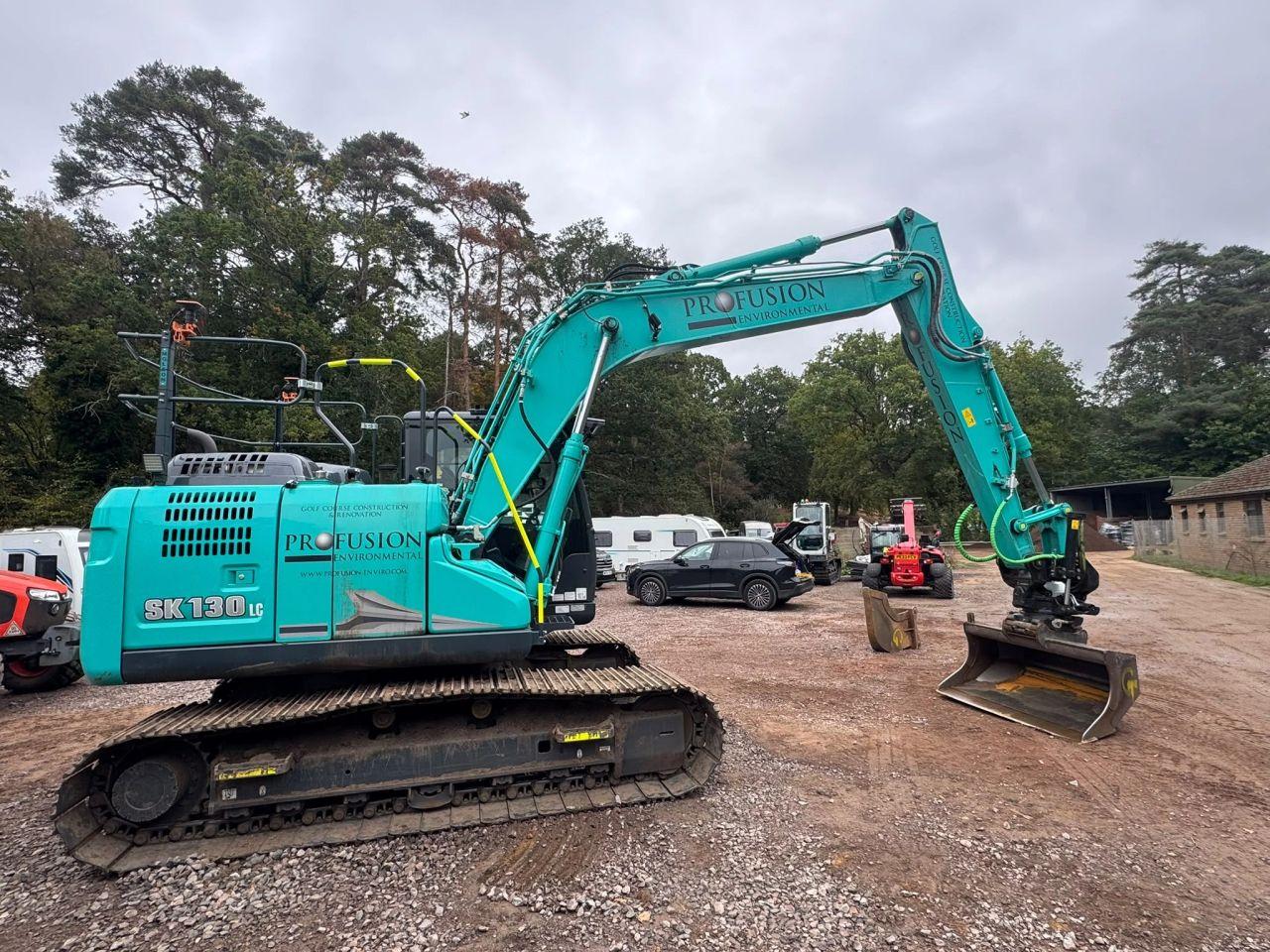
Machine installation, sensor positioning, calibration and checks to establish a working system suited to the excavator and attachments.
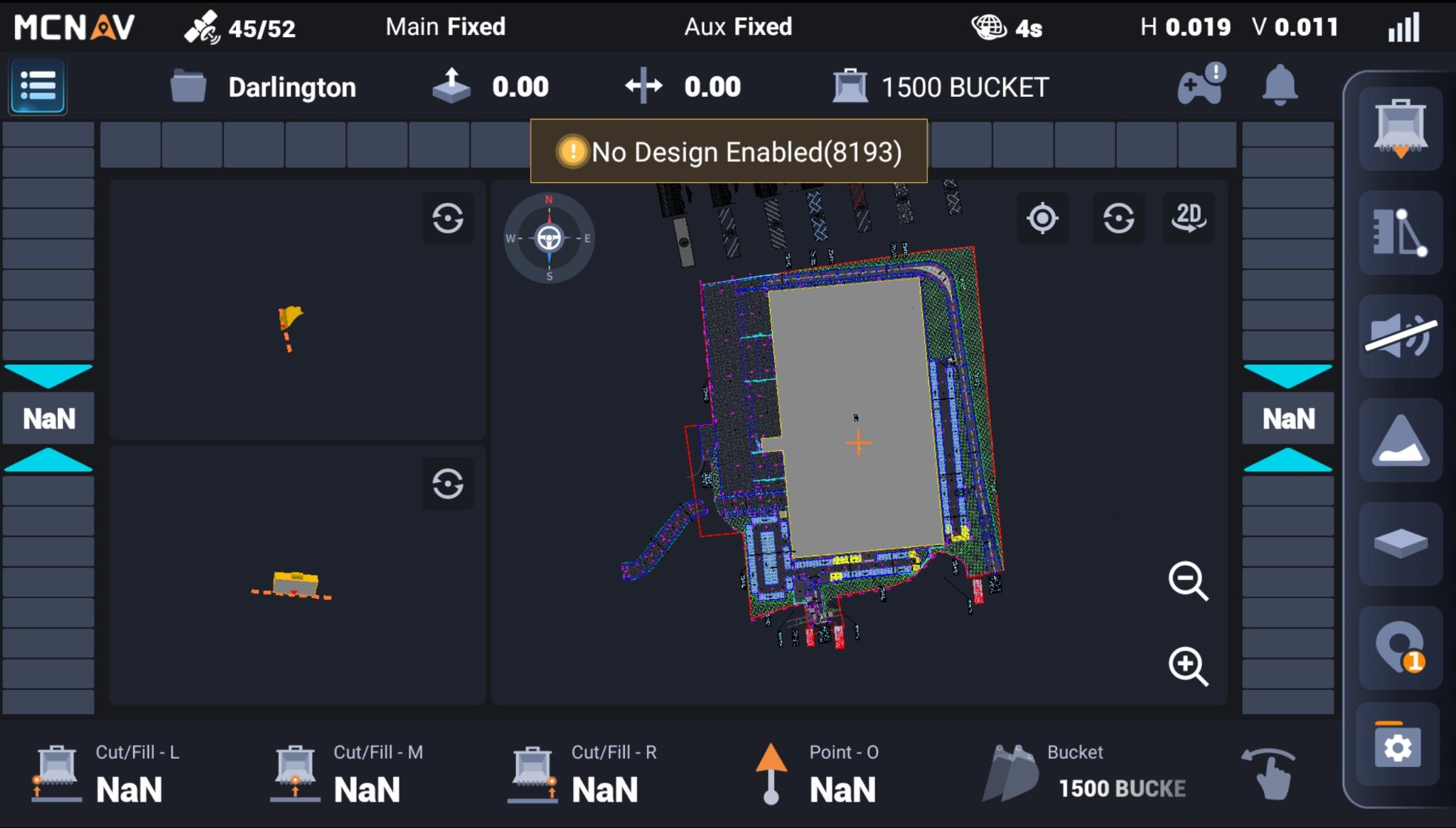
Practical instruction covering design selection, checking position, bucket configuration and everyday operator procedures.
04 / Real installations
A selection of actual equipment installations and on-site examples—not generic catalogue photographs.
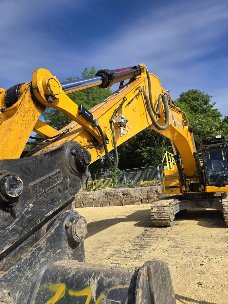
Equipment integrated into working machines with careful attention to positioning, protection and serviceability.
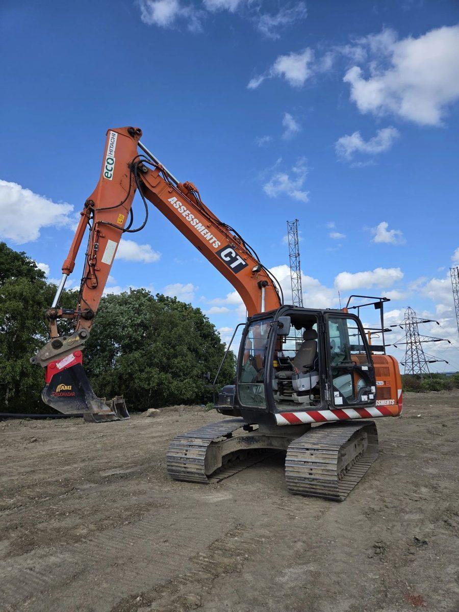
Sensors, cabling and machine components fitted with a focus on reliability and practical maintenance access.
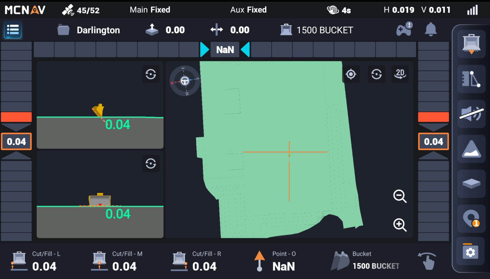
Display position, usability and training are as important as the components fitted to the machine.
05 / CHCNAV SiteCloud
SiteCloud connects office design management with the machines on site, helping teams organise and distribute the right project information.
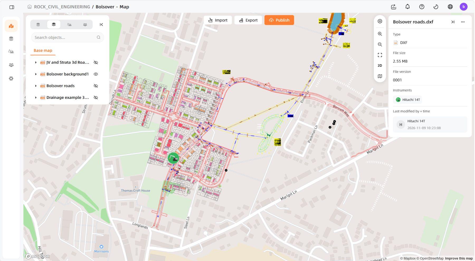
Illustrated using a Bolsover project SiteCloud screenshot showing DXF layers and a linked excavator. Connectivity and available features depend on the configured system.
06 / CT Assessments partnership
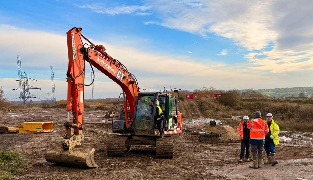
Through our partnership with CT Assessments & Training, customers can see machine control working on a real excavator and receive practical, hands-on instruction.
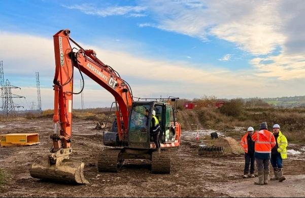
Our TX73-equipped demonstration excavator at CT Assessments & Training near Wakefield gives customers the opportunity to experience CHCNAV machine control in a real working environment before committing to a purchase.
Our engineer-led training covers loading designs, checking machine positioning and accuracy, bucket configurations, working to levels and everyday operation, so operators can use the system confidently.
We also help site engineers and supervisors understand design workflows, model updates, machine checks and the information needed to support their operators.
We do more than install equipment: we make sure your team understands how to use it and can get the most from the investment.
07 / Aftersales & technical support
Machine control is only as effective as the people, models and processes behind it. We stay involved to help customers get the most from their investment.
08 / Survey equipment & services
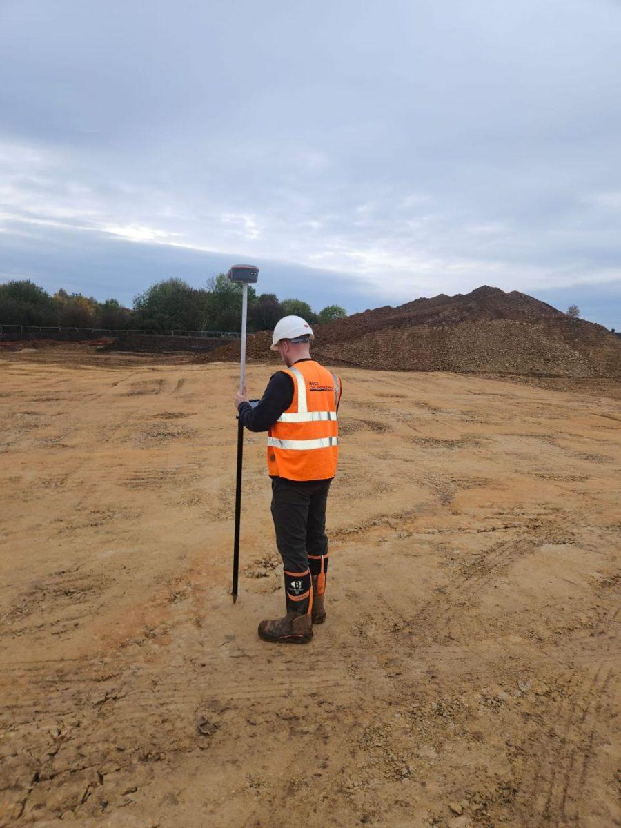
We supply surveying technology and undertake site surveying services, connecting the measured ground to the construction model.
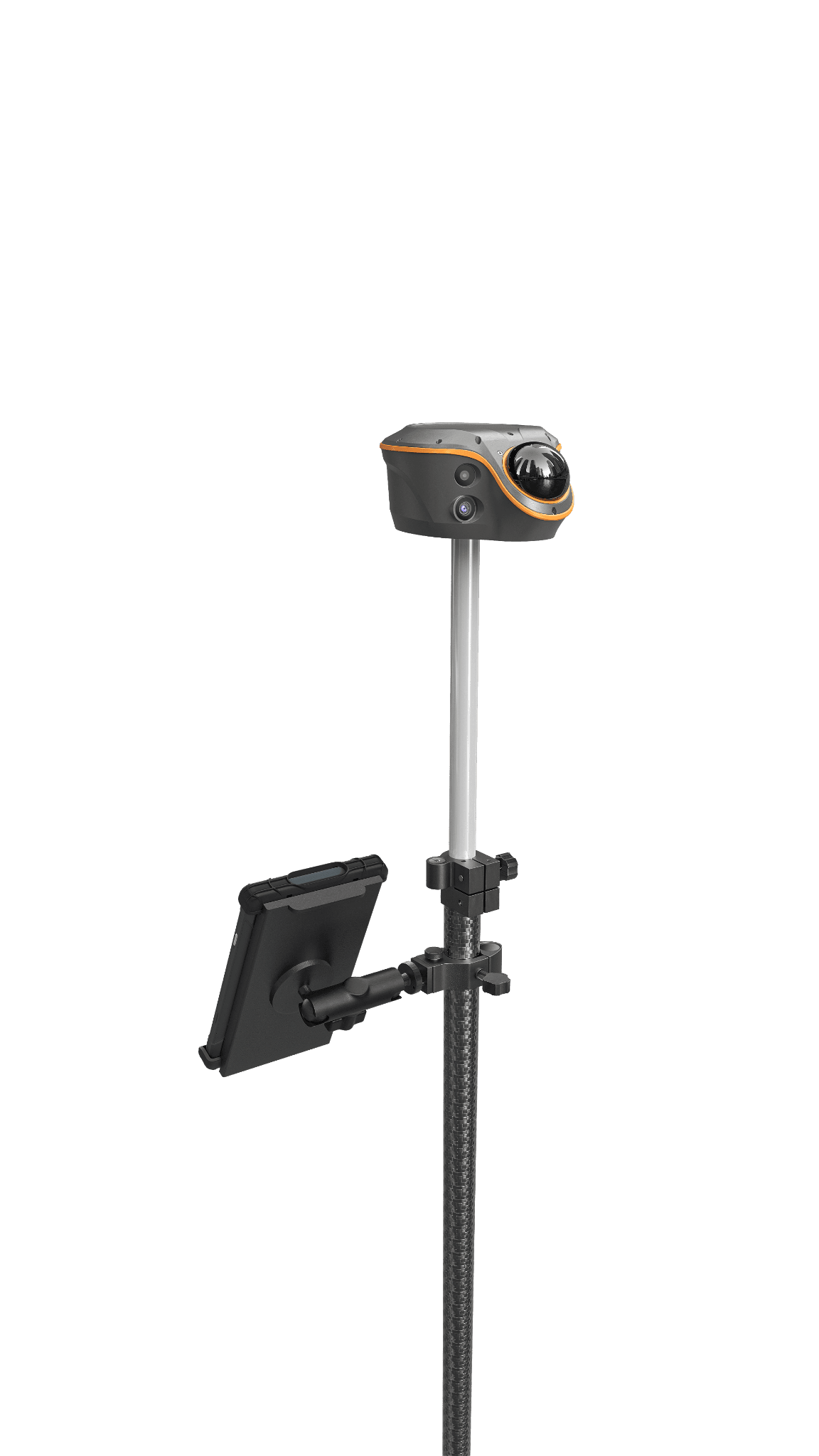
CHCNAV rover solutions including i76, i83, i89, i93 and ViLi i100 for surveying, setting out and site control.
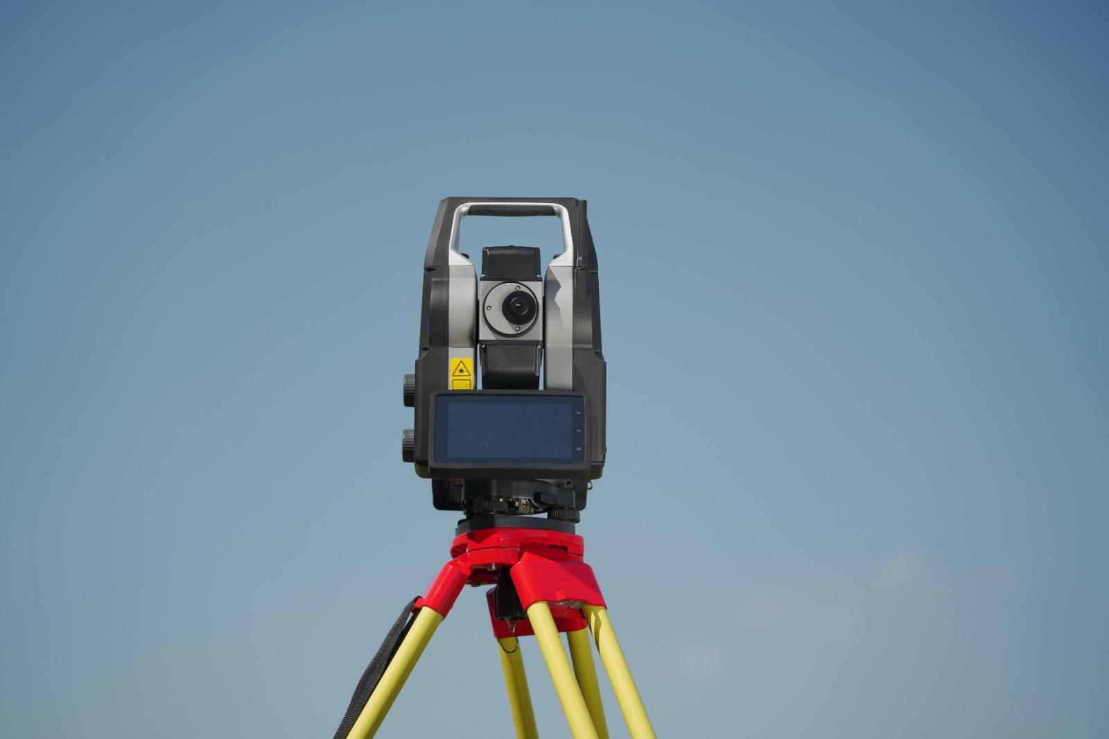
Instrument packages and workflows for precise site engineering, layout and measurement where GNSS is not the right tool.
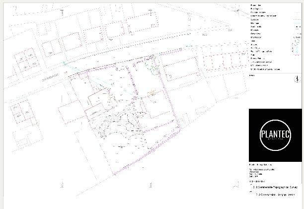
Topographical surveys, control networks, measured features, levels and CAD-ready deliverables.
09 / Premium positioning & base stations
We can provide the positioning equipment, RTK correction service and setup assistance needed to keep rovers and compatible machines working.

Network correction subscriptions and guidance on connecting compatible GNSS equipment, including SIM and connectivity considerations.
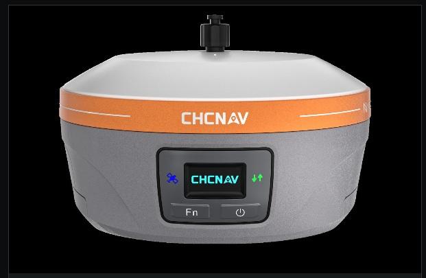
Local GNSS base station solutions for site positioning and machine control applications, with configuration and operational support.

Survey equipment, machine control, correction setup, design workflows and technical assistance through Plantec.
Correction availability, radio performance and positioning accuracy depend on site conditions, hardware compatibility and service coverage.
10 / UAV surveying & LiDAR
Aerial surveys can provide an efficient record of existing conditions, construction progress, earthworks and complex terrain.
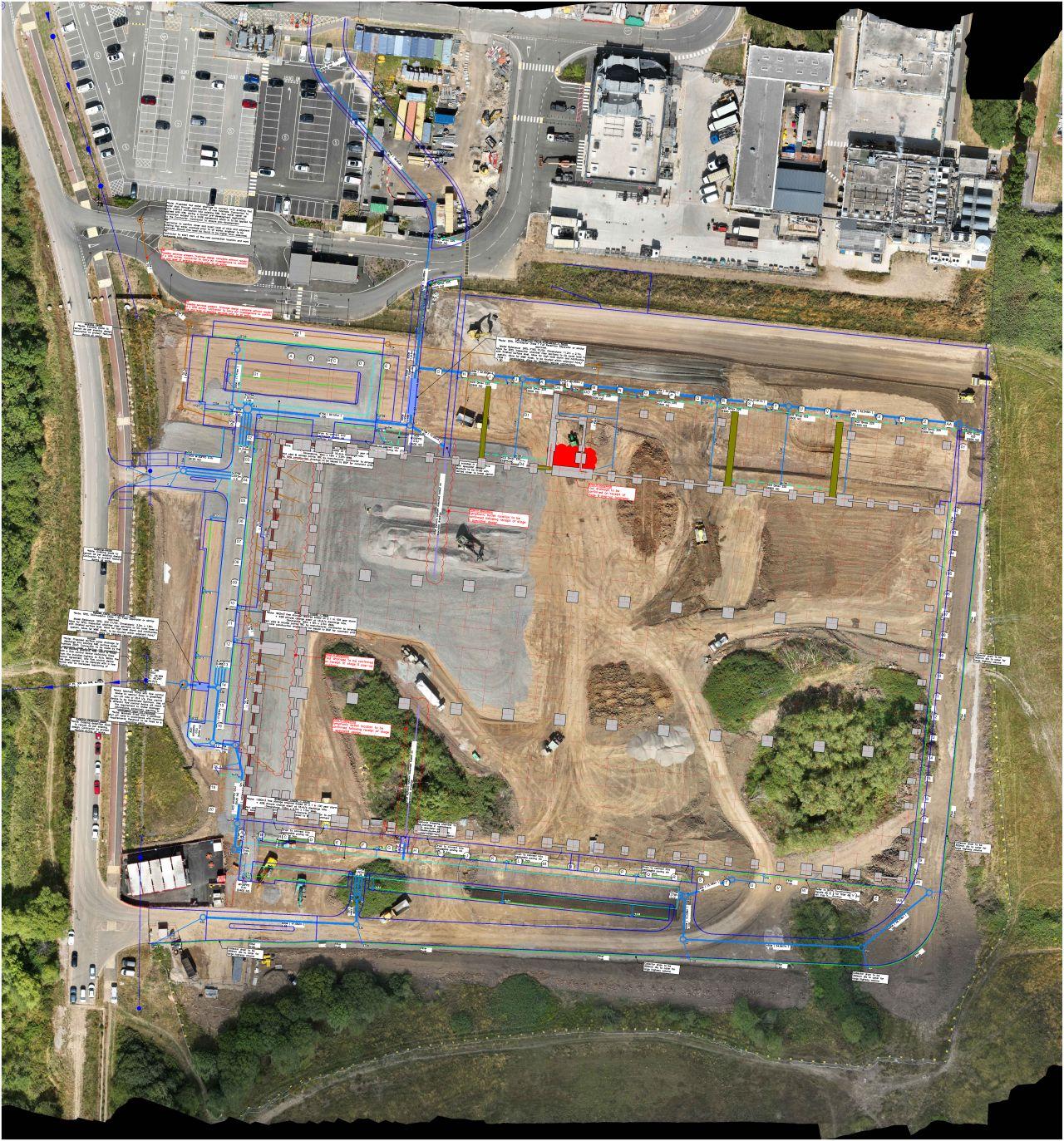
Georeferenced imagery for progress records, planning, coordination and visual context.
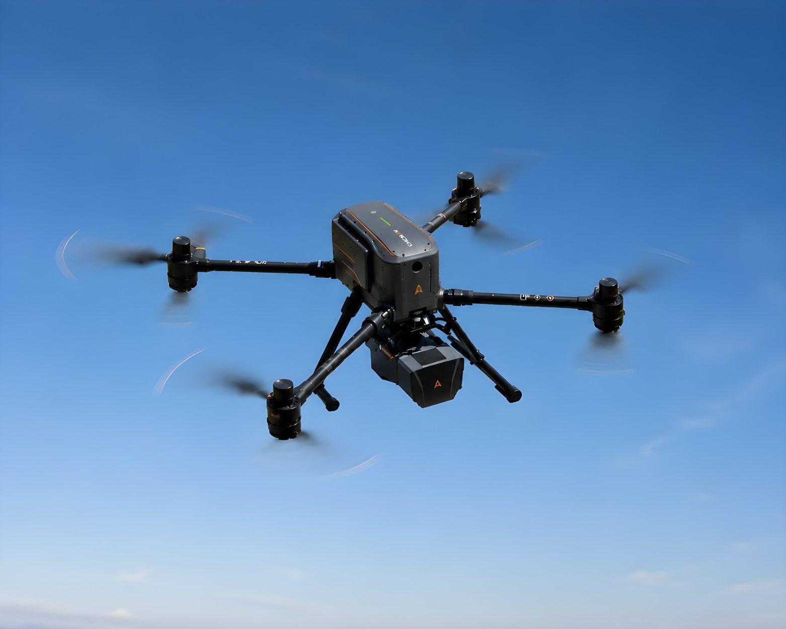
Aerial LiDAR capture supporting point-cloud generation, terrain representation and site modelling workflows.
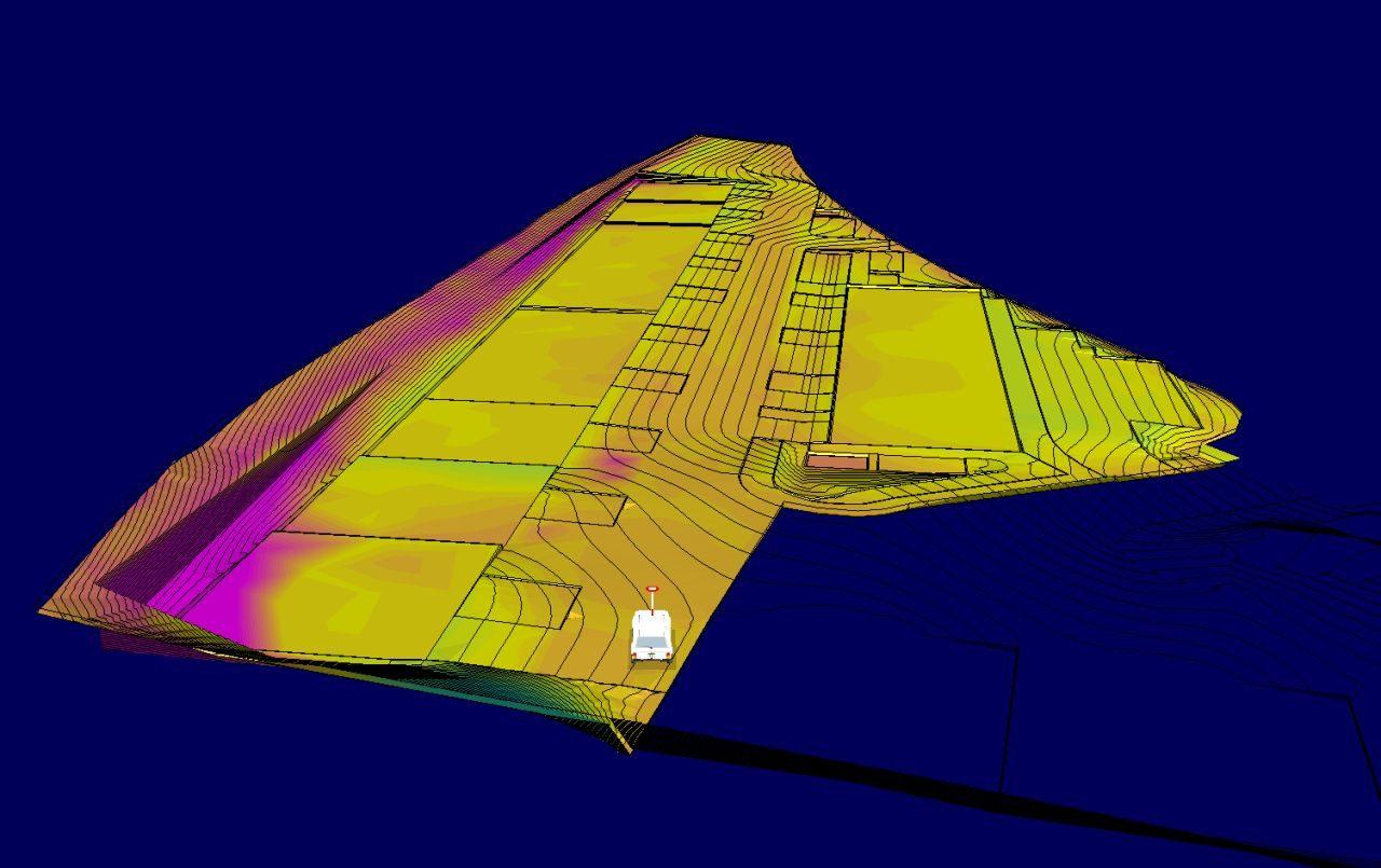
Point clouds, visualisations and model overlays that help teams communicate what is happening on the ground.
See the technology in action
X500 and AA6D footage. Press play to view the demonstration.
11 / Earthworks & 3D modelling
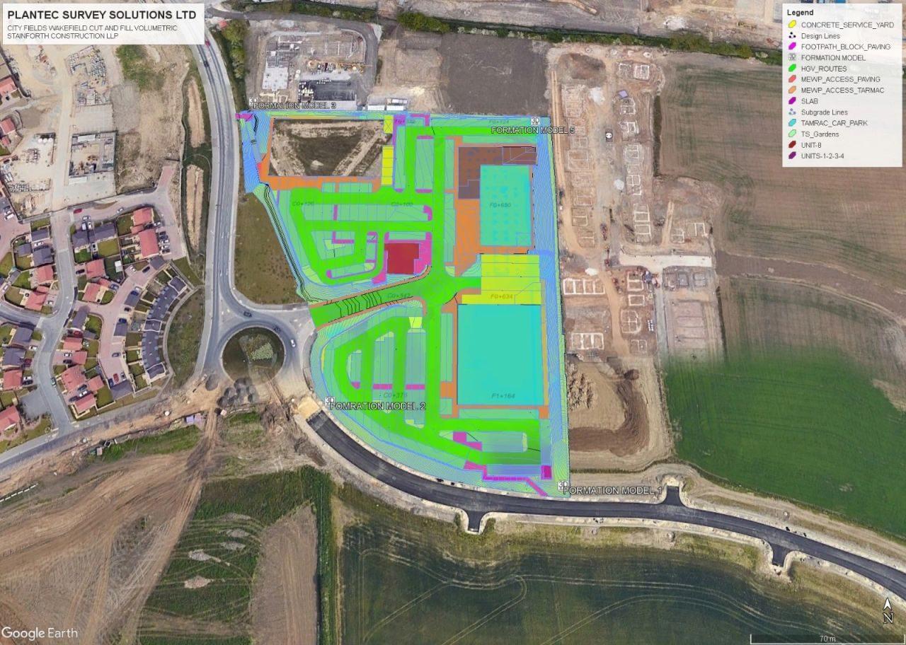
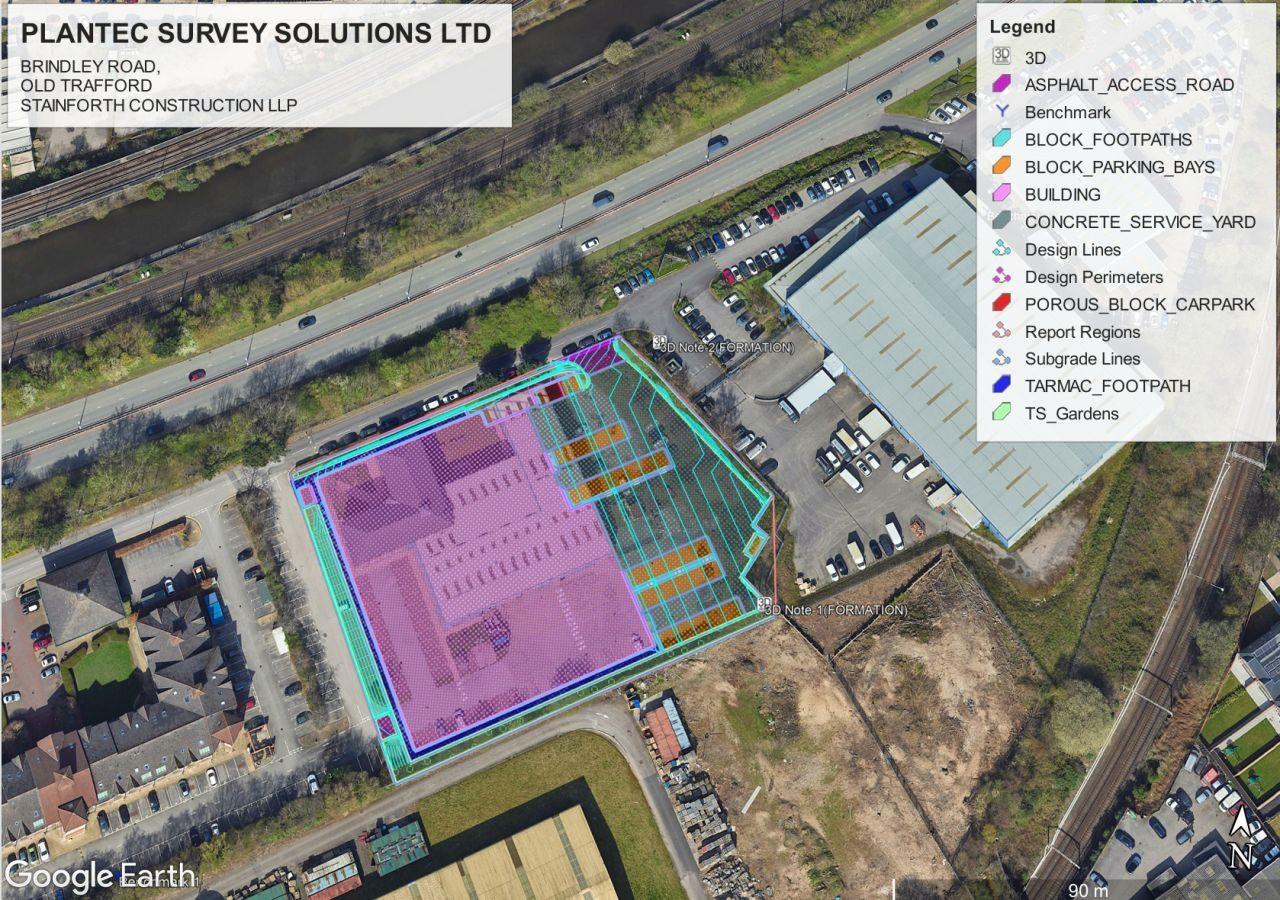
Our engineering modelling services turn surveys and design information into practical construction outputs for planning, quantities and machine control.
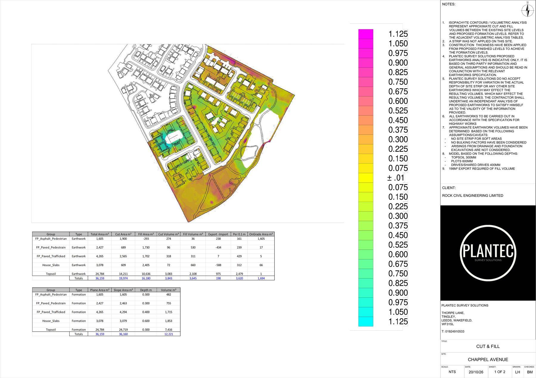
Compare existing and proposed surfaces, understand excavation and fill requirements and plan earthworks efficiently.
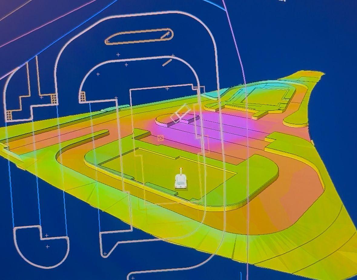
Develop engineering surfaces, formation levels and machine-ready information from design drawings.
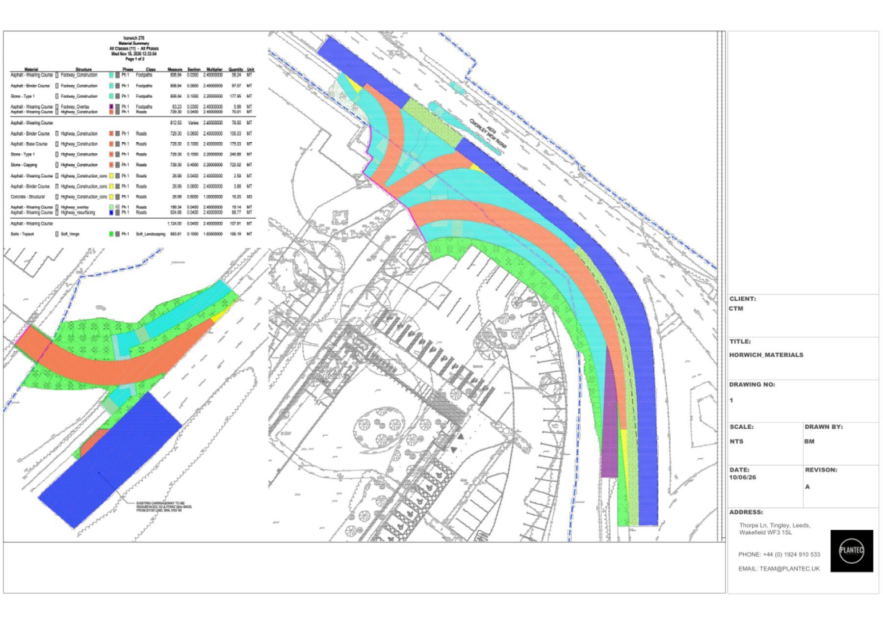
Calculate areas, construction layers and quantities to support estimating, procurement and project controls.
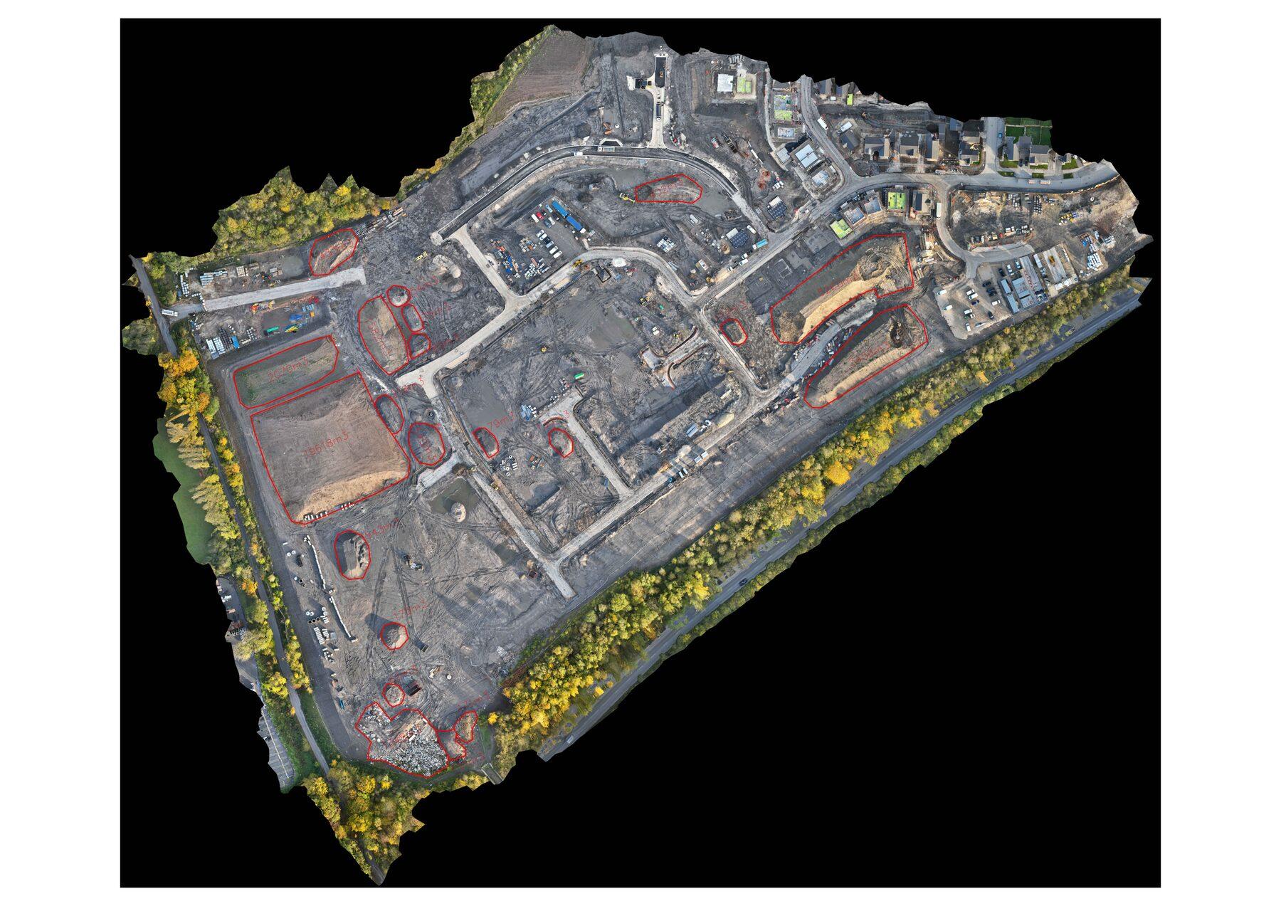
Measure stockpile extents and volumes to assist reporting and material management.
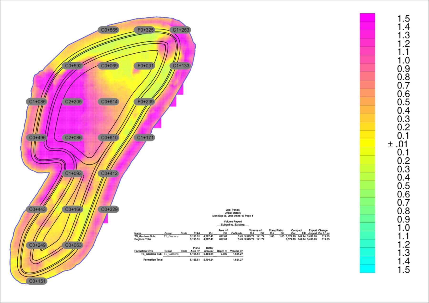
Represent complex shapes, ponds, platforms and level transitions in practical 3D surfaces.
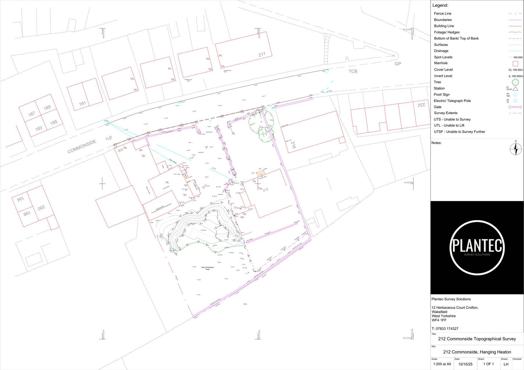
Measured ground information and CAD deliverables for design, construction and ongoing site coordination.
12 / Scanning & reality capture
CHCNAV scanning technology for measured building surveys, site documentation and engineering point clouds. We advise on suitable equipment, capture methods, processing and practical deliverables.
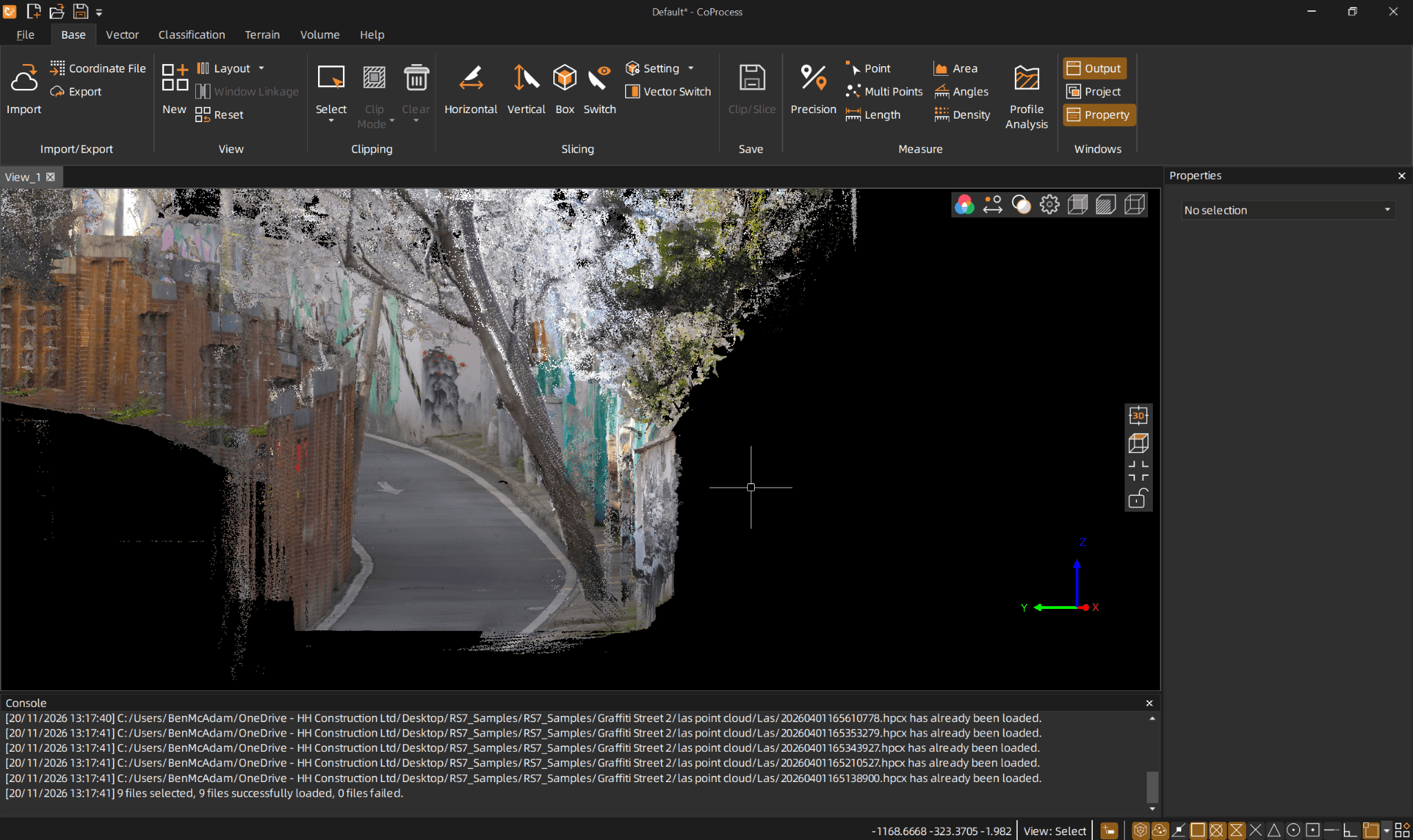
Discuss GNSS-assisted reality capture, SLAM workflows and point-cloud outputs with a team that understands how survey information is used on site.
13 / Specialist excavation technology
As a RodRadar sub-dealer for Northern UK, we can introduce customers to Live Dig Radar technology and its potential role in reducing underground utility strike risk.
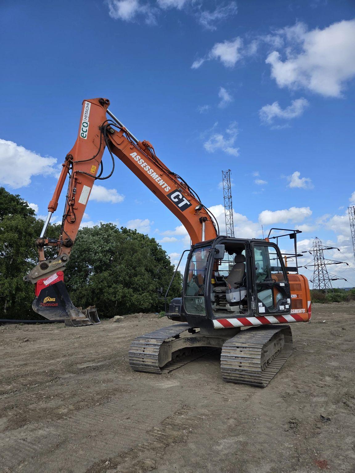
The system integrates radar sensing with an excavator bucket, providing operators with real-time indications of potential underground utilities.
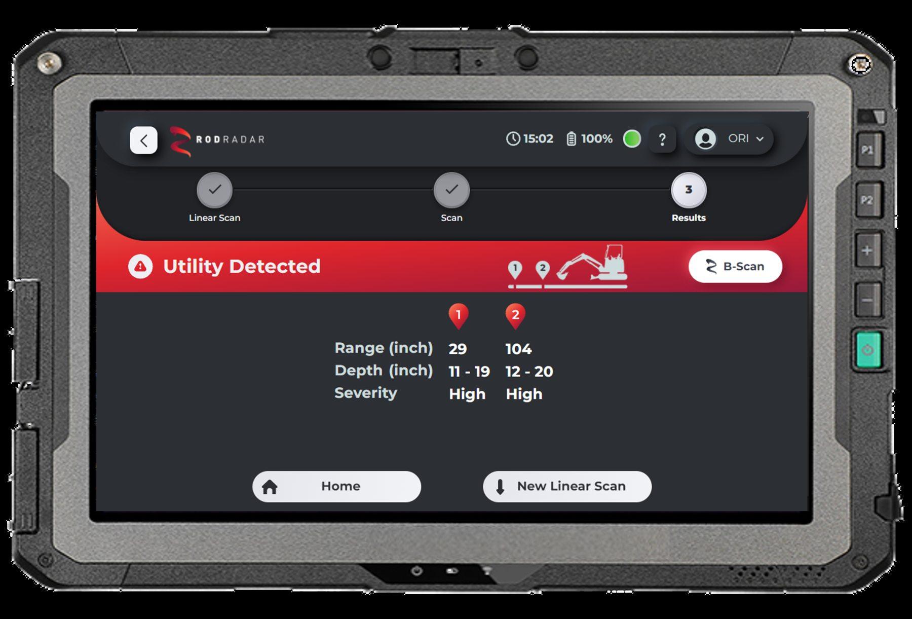
Specialist detection technology intended to complement—not replace—safe digging practices, utility plans and established avoidance procedures.
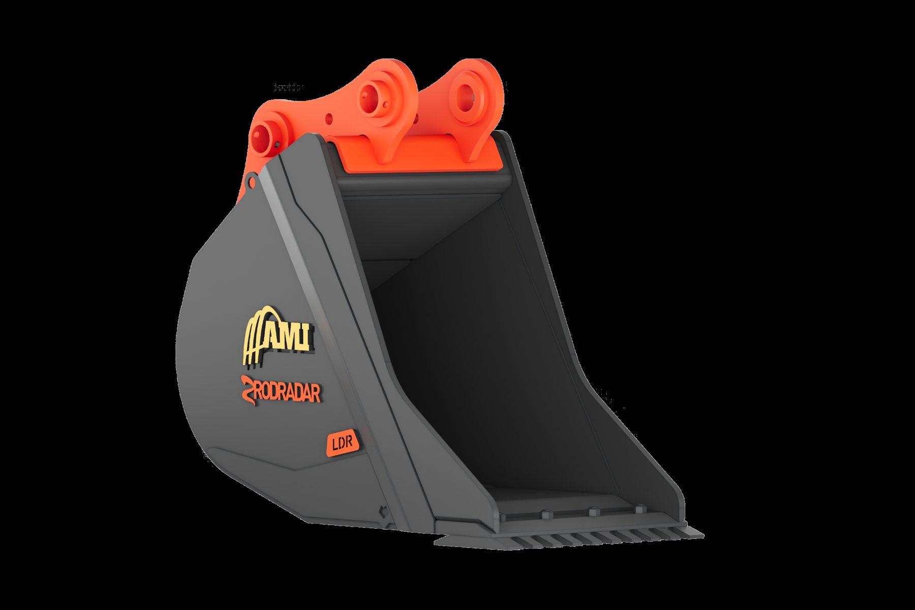
Discuss applications, compatible bucket options and demonstrations through the relevant supply partners.
14 / Plantec-designed accessories
Our magnetic GNSS cabin MagMount was developed with everyday site setup and safety in mind.
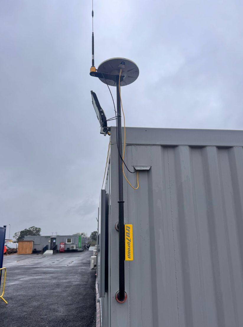
Installation suitability and safe use must be assessed for the cabin and site conditions.
15 / The complete Plantec service
Instead of managing separate providers for every stage, work with a team that understands the whole construction data chain.
Establish control, capture existing ground and understand the site.
Prepare surfaces, earthworks quantities and construction design information.
Select suitable GNSS, machine control or scanning equipment.
Configure and commission the equipment on site.
Show engineers and operators how to use the workflows.
Manage revisions, corrections and ongoing technical questions.
16 / Let's talk
Whether you are looking at your first 3D machine control system, a better way to manage site data or a complete surveying and modelling service, talk to Plantec.
Wakefield, West Yorkshire · Supporting projects across the UK
Telephone: 01924 910533
Email: enquiries@plantec.uk
Website: plantec.uk
Product suitability, training arrangements and availability are confirmed individually. All project imagery is illustrative of the work and equipment described; no endorsement by pictured third parties is implied.